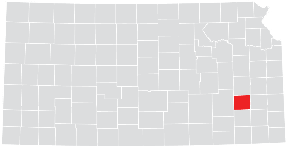
Welcome to Woodson County, Kansas
Use the below methods to report Severe Weather to the National Weather Service in Topeka
- Call: 1-800-432-3929
- Facebook: https://www.facebook.com/NWSTopeka
- Twitter: Follow us! @NWSTopeka use #kswx, #ksstorms with your report
********WHAT TO REPORT********
Who: State your name. If you have been to a spotter training session consider yourself a trained spotter (Classes are offered every spring in Woodson County).
Where: State your location - include a major city and your county, especiall if you are not at home. Also, let us know which direction you are looking (i.e. N, S, E, W, etc)
When: State the time that you observed the event, and for how long the event persisted.
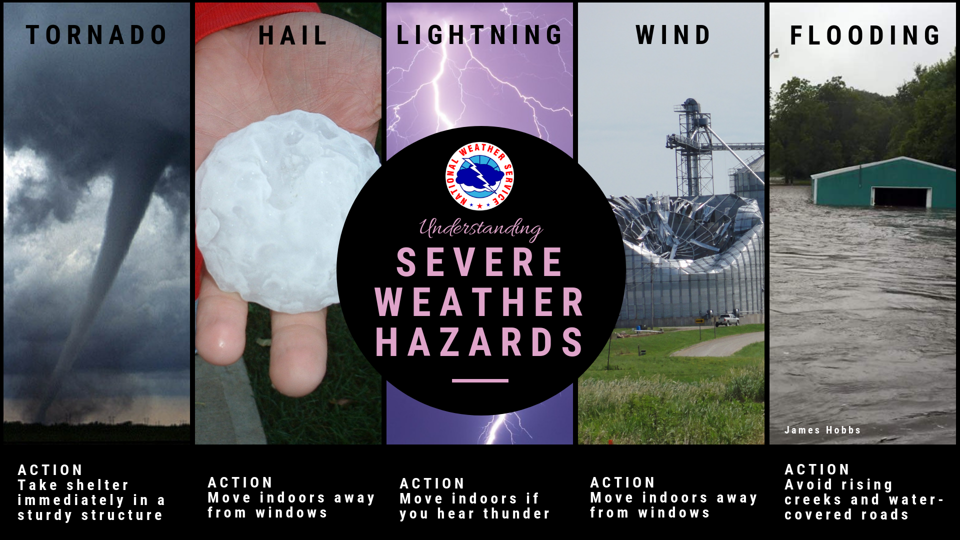
What: Report conditions that satisfy the criteria for a Severe Thunderstorm. These include:
- Tornado: A violently rotating column of air attached to a thunderstorm base, and IN CONTACT with the ground. Dust or debris will be seen.
- Downburst/Outflow Wind: A strong out rush of damaging winds on or near the ground. A severe thunderstorm will produce wind speeds greater than 58mph. These winds can exceed 100mph, and do not rotate.
- Hail: Balls or clumps of ice that fall from severe thunderstorms. Hail can range in size from the size of peas, up to 7" in diameter - the size of the largest hailstone ever measured. Severe thunderstorms produce hail greater than 1.00" in diameter.
- Funnel Cloud: A rotating, funnel shaped cloud attached to a thunderstorm base and extending downward, but NOT in contact with the ground. Please also report rotating wall clouds!
- Flash Flooding: A rapid rise in water, usually within 6 hours of heavy rainfall. Water spilling over roadways, or steams or creeks out of their bands also indicates flash flooding.
********Estimating Wind Speed********
50-57 mph: Small Branches, Limbs less than 2" in diameter down
58-69 mph: Large Limbs 2-4" in diameter, Power Lines down
70-80 mph: Small Trees uprooted, Large Limbs greater than 4" in diameter down, Shingles torn off houses
> 80 mph: Large Tress uprooted, Power Poles snapped off, Cars blown off roadways
********Estimating Hail Size********
| Relate hail diameter to coin size: | If greater in diameter than a coin: |
| .75" = Penny | 1.75" = Golf Ball |
| .88" = Nickel | 2.50" = Tennis Ball |
| 1.00" = Quarter | 2.75" = Baseball |
| 1.25" = Half Dollar | 4.50" = Grapefruit |
Methods to Receive Weather Warning Information
- Television and Radio
- Emergency Notification Via Mobile Device
- NOAA Weahter Radio
- Outdoor Sirens
The warning system can only be effective if you understand the benefits and limitations of the alerting methods available. There are a great deal of warning devices and methods. It is recommended tht you take advantage of as many of them as possible. No warning method is perfect and no warning method can be guaranteed never to fail. By relying on a single method you rishk missing a warning if that system fails. By taking a broader approach and getting information from multiple sources, you are more likely to receive the warning, even if there is a failure of one of the warning methods.
It is strongly recommended that you consider the following:
- Purchase a weather alert radio if you don't already have one. ( Test is periodically to make sure it is working)
- Rely on Wireless Emergency Alerts (WEA) on your phone as one method of warning.
- Subscribe to a calling service or SMS text based alerting system if you carry a mobile device.
- REly on the sirens only for a means of outdoor alert. If you hear them, seek out additional information as soon as possible.
- Turn to broadcast radio or television for critical details and follow-up information.
Understanding Weather Warnings
We use chemicals every day around our homes and in our places of work. Chemicals can be helpful agents in fueling our vehicles, painting our homes and appliances, removing paint, fertilizing our gardens and farms, killing weeds, killing bugs and pests, cleaning, lubricating and preparing parts, disinfecting and cleaning bathrooms and kitchens, and many other useful purposes. Businesses and industries use chemicals to produce their products or provide their services. In Coffey County, there are a number of businesses and industries that use and/or produce chemicals. These businesses include farm fertilizer services, auto painting/servicing, pest control services, oil production and producing electricity, among other industries.
Because chemicals are used all throughout our lives, it would be no surprise to find them around every part of our surroundings, but we may not be aware of their presence. They can be in basements, garages, kitchens and bathrooms of our homes. They can be in the businesses and industries that operate in our communities. Coffey County has major state and interstate highways and rail lines running through it. So chemicals are transported on these roadways and rail lines throughout the county. We may find chemicals in various containers or closed systems such as bags, bottles, cans, pails, pipelines, tanks, etc.
Chemicals are useful items in our lives and can be safely used, handled and stored if done in a controlled or common sense manner. When chemicals are not controlled or are lost from their closed systems, we must be prepared to act in a manner to limit our exposure to the hazards from their spill or release.
What to do if you observe a chemical spill/release
If you observe a chemical spill or release, either driving down a road or looking out your window at home, report the spill/release by dialing 9-1-1. The 9-1-1 operator will dispatch the proper response agency.
What to do in a chemical emergency
A chemical emergency can occur from a transportation source, such as trucks or railcars, or from businesses or industries in the area. If a chemical emergency occurs in your neighborhood, you will be notified by local officials using a combination of radio, television, door-to-door contact. If your health and/or safety is in danger you will either be advised to shelter-in-place or to evacuate.
How could a release of radioactive material happen in Woodson County?
An accident involving radioactive materials is possible anywhere radioactive materials are used or transported. These materials can be found in medical, industrial, research, or construction activities. Kansas Department of Health and Environment or the Nuclear Regulatory Commission must license companies using a radioactive source. A transportation accident involving someone hauling radioactive material is very possible. In Woodson County, highways, and railroads are used to transport these materials.
In the event a foreign country were to attack the United States using nuclear weapons, Woodson County could receive radioactive fallout, or be a target for attack.
If a hazardous radiation situation occurs, persons from local emergency groups, Woodson County Emergency Management, and numerous volunteers would be called in without delay. These responders would check for a radioactive release and contamination to personnel or vehicles, inform the public on what actions to take, and work to protect the health and safety of everyone involved.
Plans and procedures are in place to cover specific details regarding responsibilities and response action for Woodson County in the event of a nuclear accident.
For more information on this subject, call Woodson County Emergency Management at (620) 625-8605 ext 8.
Woodson County is prepared to help Coffey County with any issues that may arise with Wolf Creek. We have procedures in place for response help in the event of an emergency. For additional information to use during Wolf Creek emergencies, visit www.wcnoc.com.
Prescribed or controlled burning is a technique sometimes used in forest management, farming, or prairie restoration.
Prescribed or controlled burning is a technique sometimes used in forest management, farming, or prairie restoration. Fire is a natural part of both forest and grassland ecology and controlled fire can be a tool for farmers/ranchers in our area to safely reduce excessive amounts of dead vegetation, brush, shrubs and trees.
A controlled burn is called that for a reason, it takes preparation, knowledge of the weather conditions, a crew, tools, equipment, having water tanks available and on standby at the burn site. Burning pastures or woodlands should never be a light-it-and-leave-it method. Fire must be watched and controlled. Weather conditions have a huge impact on burning, too wet and you won’t get a good burn, too dry and the fire will spread fast, too windy and fire and get out of control in a matter of minutes. Burning is not something you do when winds are 30 miles per hour! Preparations for burning include establishing firebreaks around the area to be burned, doing back burns to establish a stopping point for a fire. Fires should not be lit when the weather service issues red flag warnings, or if the Board of County Commission has issued a Burn Ban.
Controlled burning stimulates the germination of some desirable vegetation, thus encouraging the new growth of native vegetation and maintaining the many plant and animal species whose habitats depend on periodic fire for renewal. Fire removes thatch that shades new growth. Minerals from dead weeds and grass are returned to the soil when burnt, ready to be used by new growth for nutrition. Removing dead thatch improves spring grazing for cattle in pastures, fresh is always better.
Another consideration is the issue of fire prevention.
When wildfires occur they can be fueled by old growth or downed trees or leaves in areas that have not been burned recently. Each year dried grasses, additional leaf litter and dropped branches increase the likelihood of a hot and uncontrollable fire. Controlled burning of pastures and woodlands can reduce the fuel a wildfire would have.
In Woodson County landowners need to contact the Woodson County Sheriff’s Office to obtain a county burn permit. When ready to burn the landowner needs to contact the Sheriff’s Office with the time and place of the burn and then inform when the burn is over so if reported later authorities will know that it is not controlled.
Obtaining a permit may not limit liability if the fire burns out of control, NEVER walk away from a burning fire!
The Office of the State Fire Marshal and Kansas Interagency Wildfire Council offer the following tips and best practices for helping farmers and ranchers to have safe and successful prescribed burns of their fields and pastures, ensuring a burn doesn’t become a wildfire:
- Know all state and local fire restrictions. Check with county officials who are charged with deciding whether burning is permissible based on local conditions.
- Notify neighbors as a courtesy prior to burning.
- Postpone the burn if unsure of the fuel and weather conditions.
- Check the weather forecast, not just for the day you will be burning, but for a couple days afterward as well to avoid “holdover” escapes from burns that were completed and forgotten about a day or more prior.
- Have adequate resources and equipment available to prevent escaped fires.
- Consider smoke management to avoid unsafe roads and air quality conditions.
- Do not burn to the ends of the field. Setting boundaries, “back burning” and keeping the fire off of fence rows will prevent out-of-control burns.
Per Kansas law, open burning operation conditions must adhere to detailed guidelines as specified in Kansas Administrative Regulations 28-19-645, 28-19-646, 28-19-647 & 28-19-648 (view regulations here). Violation of these regulations is subject to penalty. Woodson County Board of Commissioners may impose stricter guidelines through the adoption of resolutions.
Woodson County Courthouse
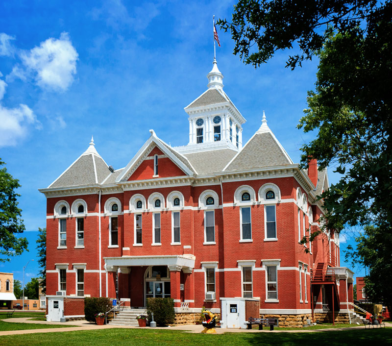
105 W Rutledge St.
Yates Center, KS 66783
Contact Information
Phone Number:
620-625-8600
Extensions:
2 - Appraiser
3 - Register of Deed
4 - Treasurer
5 - Road & Bridge
6 - Attorney
7 - District Court
8 - Emergency
Management
9 - County Clerk